Another way of dealing with the relationship between citizen and city can be found in Kevin Lynch’s book The Image of the City (1960). Although dated in many ways, the book describes a way of thinking about this relationship which is still of interest. Lynch and his fellow researchers were interested in the ‘cognitive maps’ which people carry of the cities in which they live. Wanting to find out what the relationship was between these cognitive maps and official maps of the city, they asked people to draw their own maps of the city and of particular routes through it, supplementing this information with questions regarding how their respondents dealt with particular negotiations when using the city, what they thought of different neighbourhoods and features, and so on. The results of this research showed that there were quite different imaginations of the city and that these, perhaps not surprisingly, were dependent on particular subject positions. While this data, as Edward Soja suggests, ultimately had the effect of reproducing certain dominant discourses of the city and of social relationships, it nevertheless provided a valuable ‘tilting’ of the normally-designated representation of space from an ‘official’ to an ‘unofficial’, or at least ‘semi-official’ discourse.
Lynch identified five main elements of the city from his respondents’ representations:
- Paths – ‘channels along which the observer customarily, occasionally, or potentially moves … streets, walkways, transit lines, canals, railroads’. Lynch found that these were the predominant way of imagining the city.
- Edges – ‘linear elements not used or considered as paths’, such as ‘shores, railroad cuts, edges of developments, walls’. These features help people organize and make sense of space.
- Districts – ‘medium-to-large sections of the city’ which can be mentally entered and have some distinguishing feature.
- Nodes – ‘strategic points in a city into which an observer can enter’, such as junctions, crossings, squares or other concentrations or condensations of space.
- Landmarks – external point references whose ‘use involves the singling out of one element from a host of possibilities’.
(Lynch, Kevin, The Image of the City (Cambridge, MA, and London: The MIT Press, 1996 [1960]), pp. 47-8.)
To take some examples from the city of Lisbon, we might consider the following:

Rua Augusta, Avenida da Liberdade, the Avenida 24 de Julho, or the tram and Metro lines, paths along which one might customarily move;
 the Tejo, Monsanto park, or the train lines at Alcântara, edges which help to organize space;
 Alfama, Bica, or Chiado, districts with distinguishing features;
 Rossio, Praça da Figueira or Martim Moniz, nodes which act as points of concentration;
 the Castelo de São Jorge, the Ponte 25 Abril or the Elevador da Santa Justa, landmarks that can be singled out.
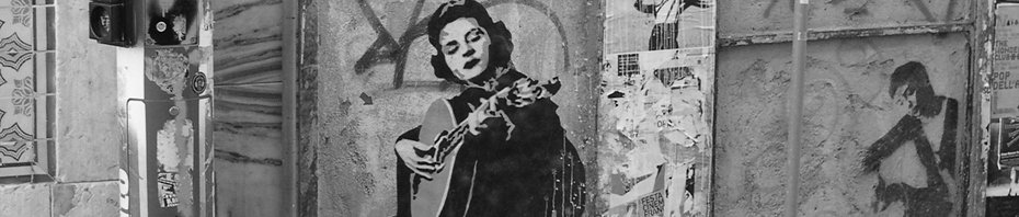
Fado hymns such elements while also overlaying them with a wealth of less obvious cognitive mappings such as alleyways, windows and rooftops.


Leave a comment